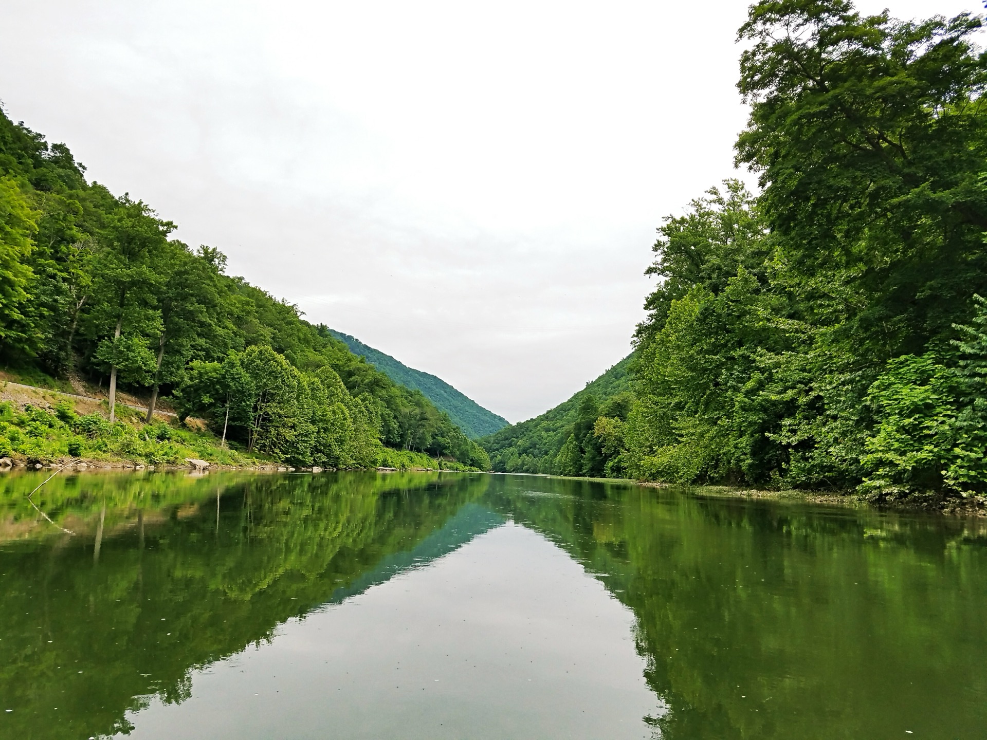
The Greenbrier River
162 miles of undammed Appalachian river draining 1,656 square miles. When the North Fork is too low or too high, the Greenbrier is often just right.
162 mi
Total Length
Class I-II
Difficulty
1,153
Avg May CFS (Buckeye)
1.5-2 hrs
From Seneca Rocks
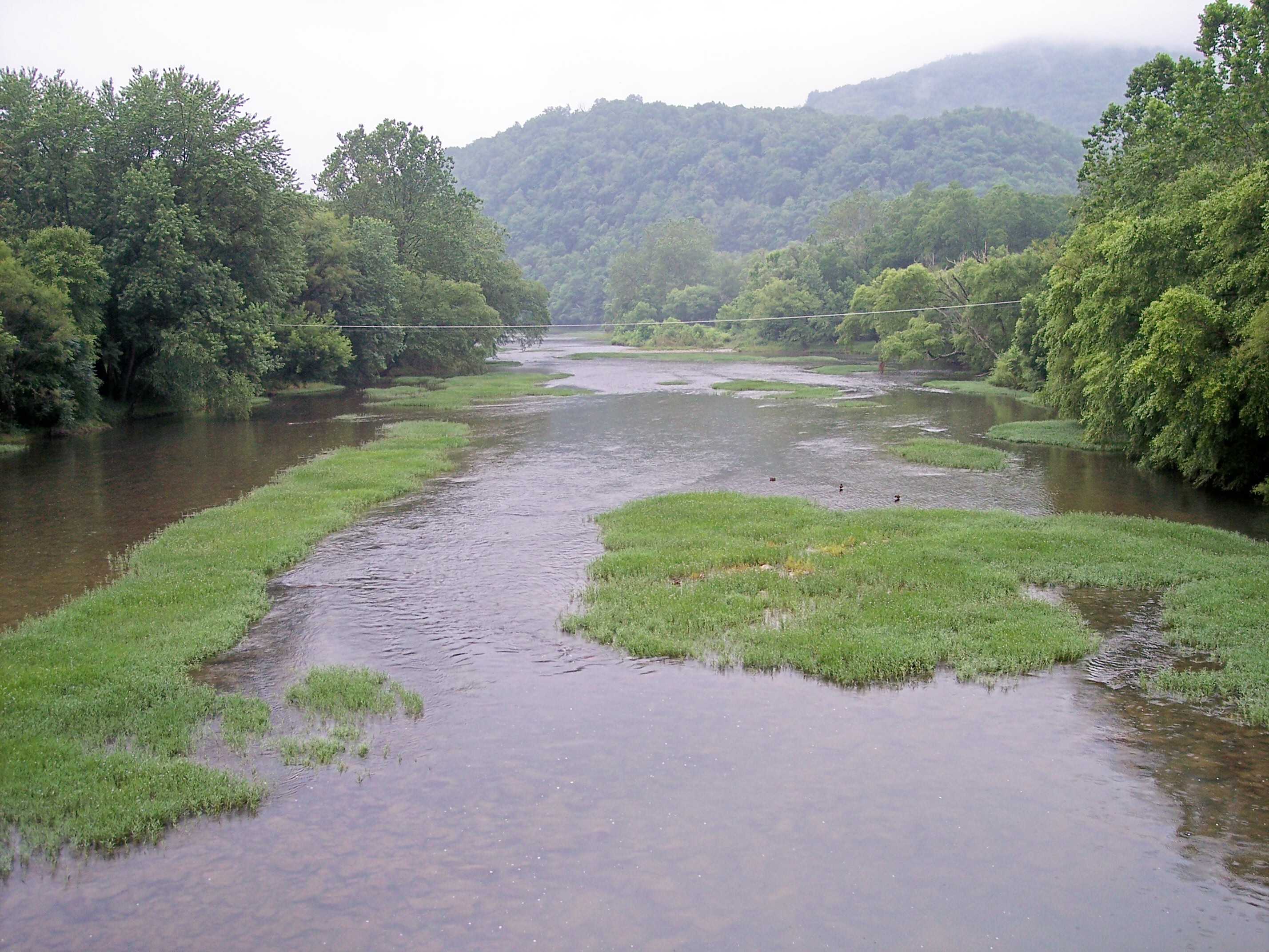 Photo: Tim Kiser / CC BY-SA 3.0
Why the Greenbrier?
The North Fork of the South Branch Potomac and the Greenbrier River are in completely different watersheds. The North Fork drains east into the Potomac / Chesapeake Bay. The Greenbrier drains west into the New River / Mississippi Basin. They're separated by the Allegheny Front -- the same ridge system that creates different weather patterns on each side.
When a drought drops the North Fork below 300 CFS, the Greenbrier's larger watershed (1,656 vs 310 sq mi) and western slope position often keep it runnable. The Greenbrier carries nearly 2x the water in spring.
| North Fork | Greenbrier | |
|---|---|---|
| Watershed | Potomac / Atlantic | New River / Mississippi |
| Drainage | 310 sq mi | 539 sq mi (at Buckeye) |
| May Avg CFS | 656 | 1,153 |
| Class | I-III | I-II |
| Character | Mountain creek, committed canyon | Wide valley river, rail-trail alongside |
| Remoteness | 4+ mi no-exit canyon | Never far from trail/road |
| Camping | Dispersed NF sites | 14 designated trail campsites + state park |
| Drive from Seneca Rocks | 0 (you're there) | 1.5-2 hours |