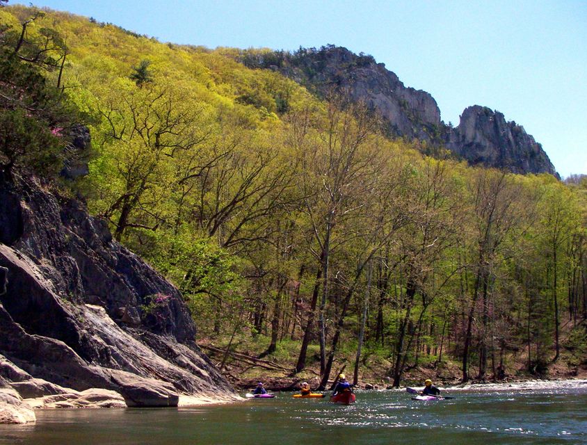
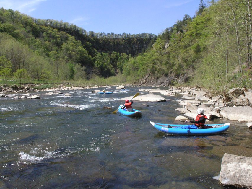
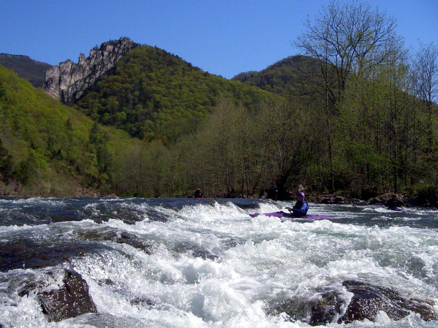
440 million years of geology, WWII mountain soldiers, moonshine canyons, and a princess who climbed cliffs. This isn't just a river trip.
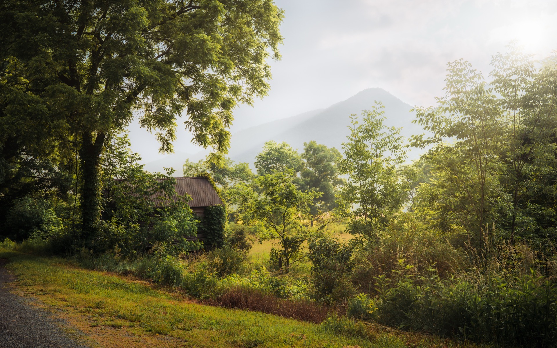 Photo: John Brighenti / CC BY 2.0
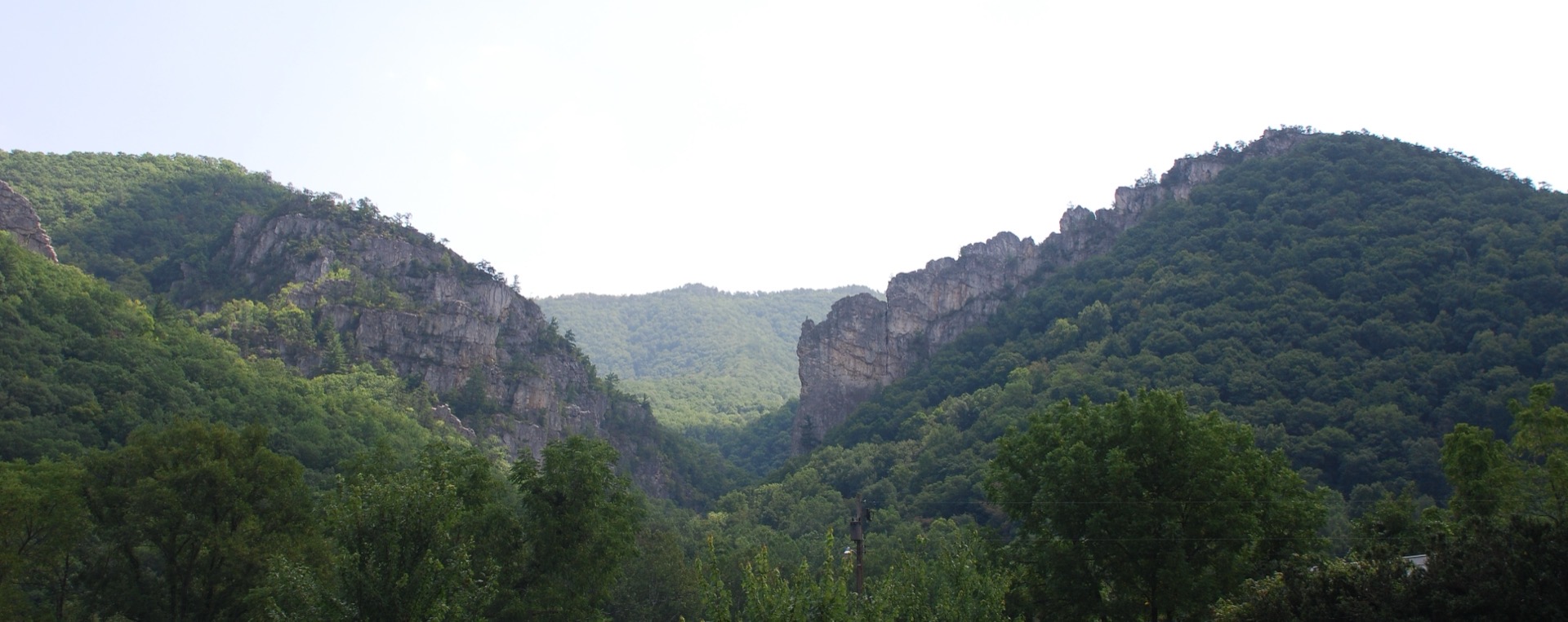
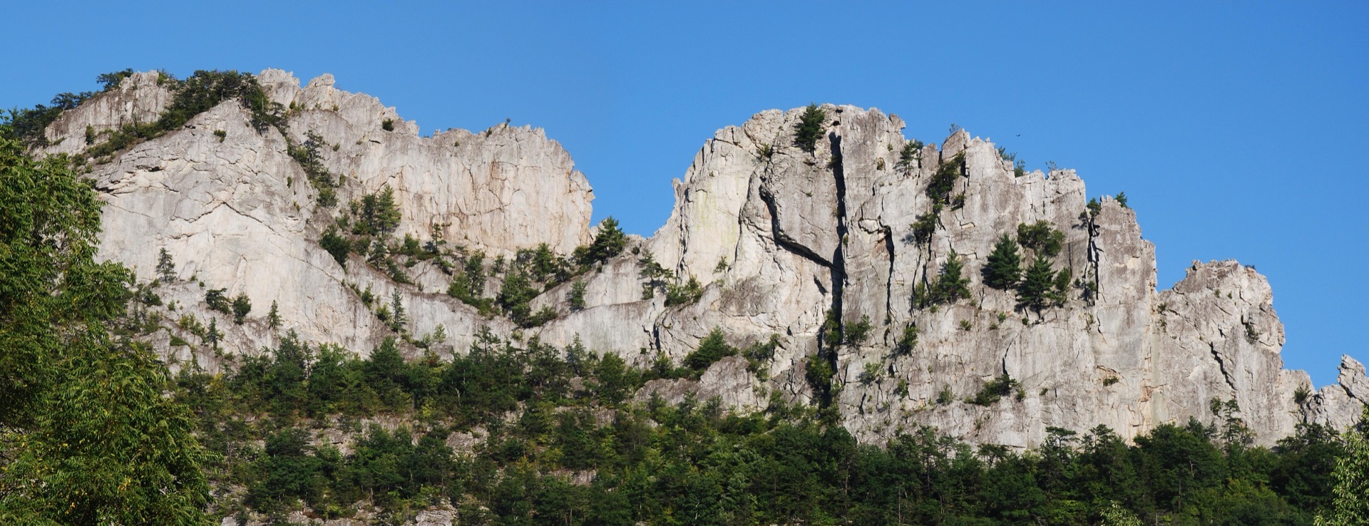
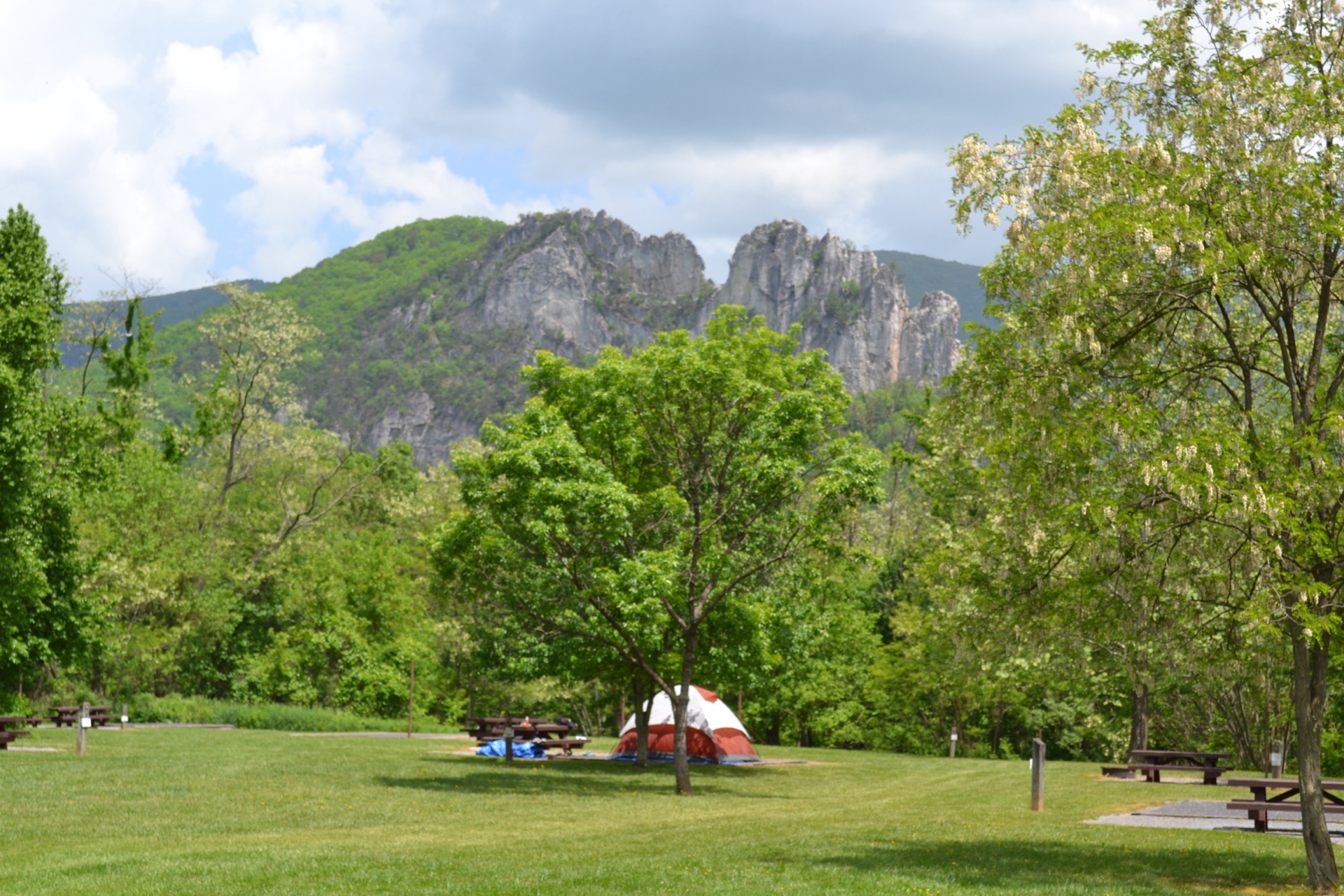
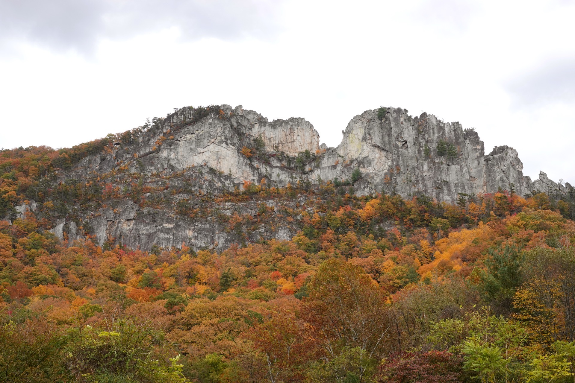
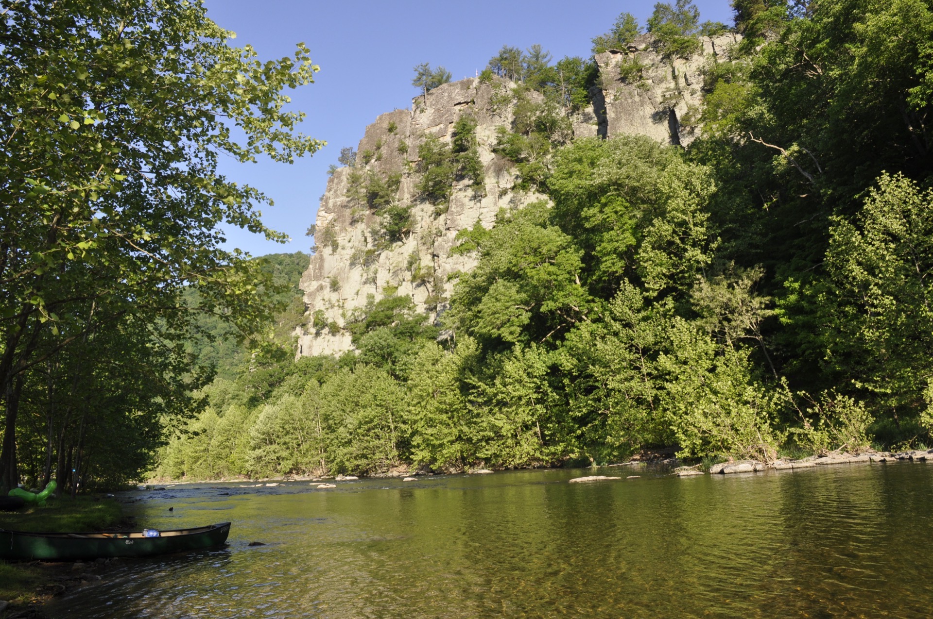
Seneca Rocks: 440 Million Years
The rock you'll paddle beneath started as sand on an ocean floor during the Silurian Period. Continental collision rotated the strata 90 degrees and compressed it into Tuscarora quartzite -- one of the hardest rocks on Earth. Softer rock eroded away over eons, leaving a 900-foot vertical fin that's visible for miles.
In 1987, The Gendarme -- a 20-ton quartzite pinnacle that had stood for millions of years -- collapsed on a calm, clear day with 6 mph winds. Students at the nearby elementary school heard the roar.
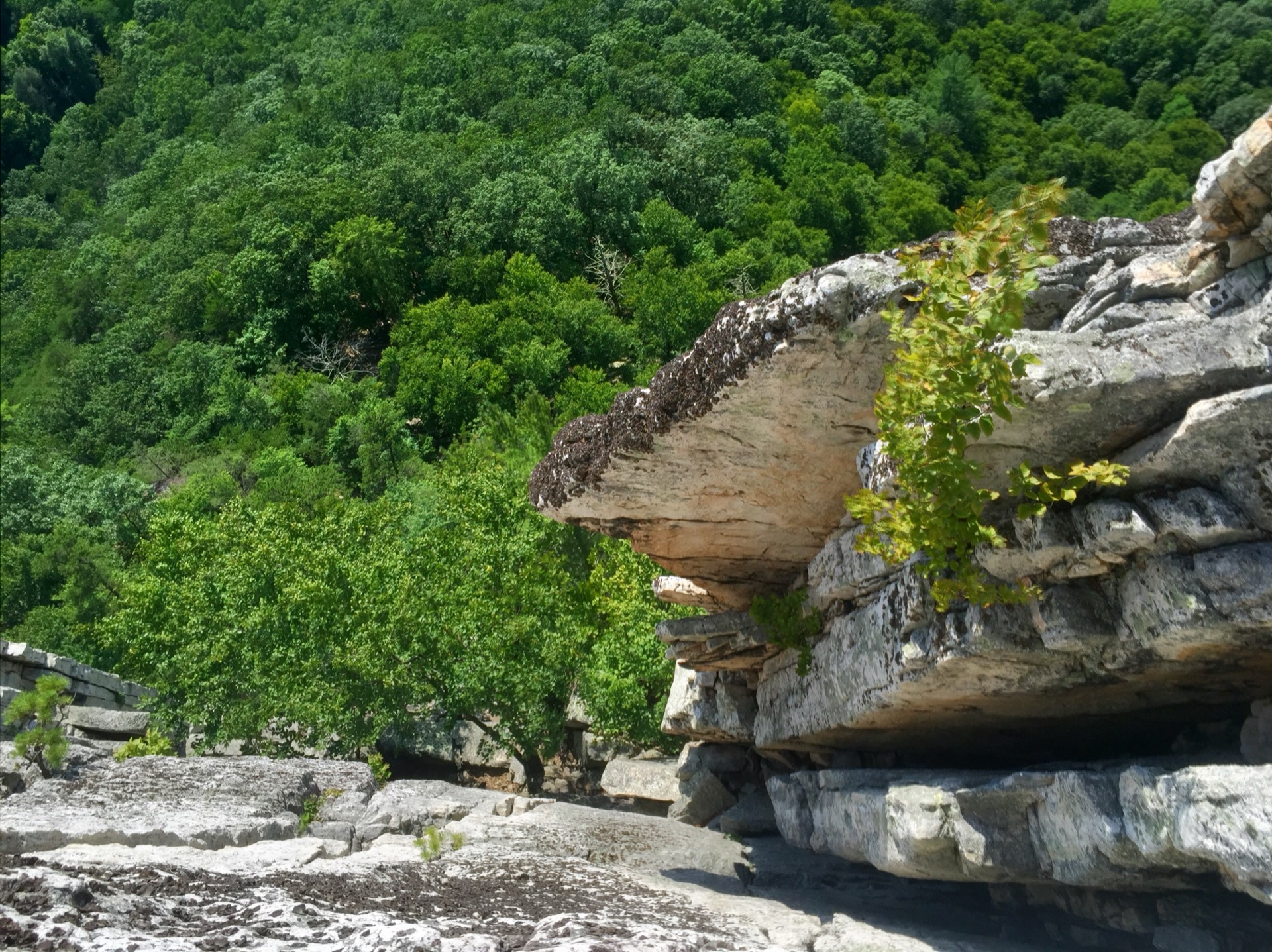 Photo: Jarek Tuszynski / CC BY-SA 4.0
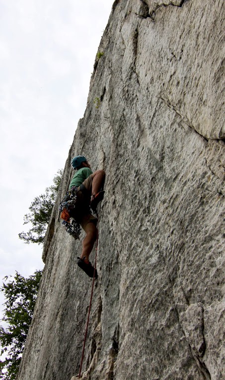
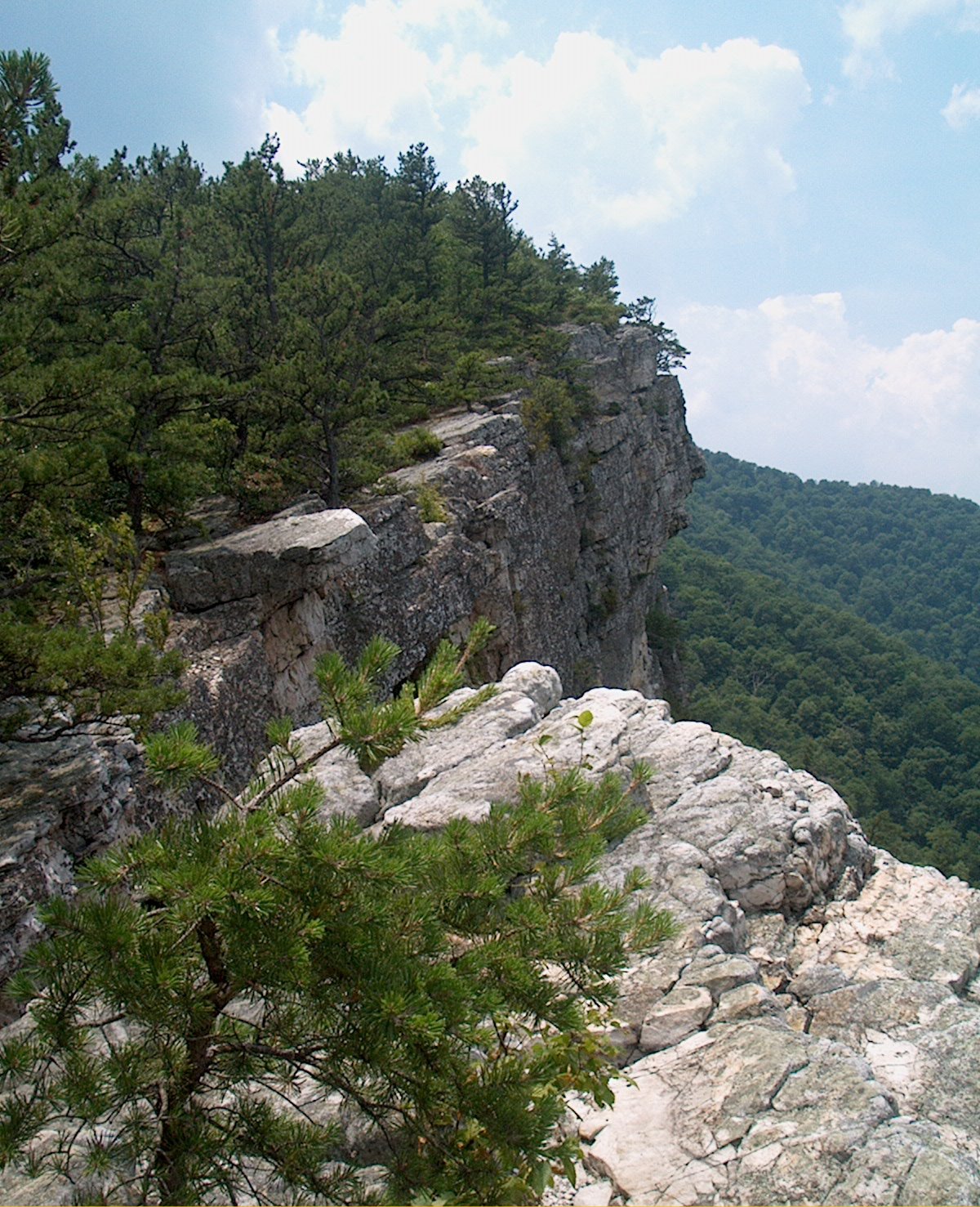
WWII: Face of a Thousand Pitons
In 1943-44, the U.S. Army's 10th Mountain Division ran the military's only low-altitude assault climbing school right here at Seneca Rocks. Soldiers trained tactical night climbs on unfamiliar rock, learned to muffle piton hammers for stealth, and hauled machine guns up cliff faces.
They left an estimated 75,000 soft iron pitons in the rock. Skills trained here were used to haul heavy weapons up Italian mountain cliffs for dawn assaults against German positions in the Apennines.
The Legend of Princess Snowbird
According to the tale, Princess Snow Bird -- daughter of Chief Bald Eagle of the Seneca tribe -- challenged her suitors to follow her up the cliffs. Seven attempted the climb; only one made it to the top. They married.
Historical note: The Seneca (Onondowaga) were based in western New York and used these trails for transit and trade, not as permanent residents. The legend is likely a 1932 literary creation, but it's become inseparable from the identity of the place.
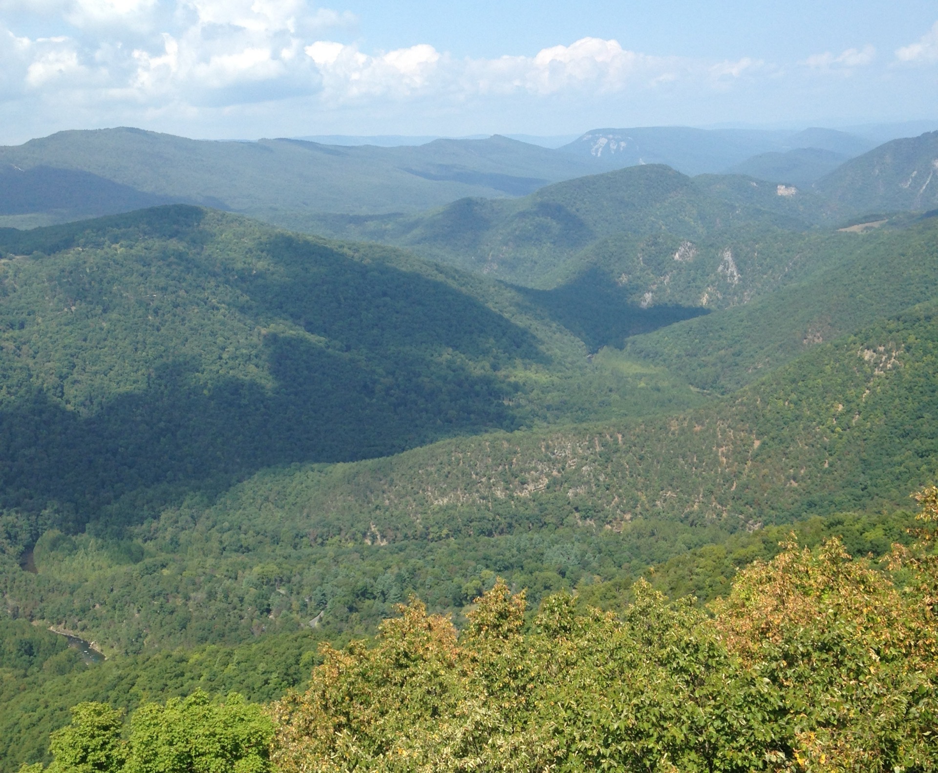 Photo: Valerius Tygart / CC BY-SA 4.0
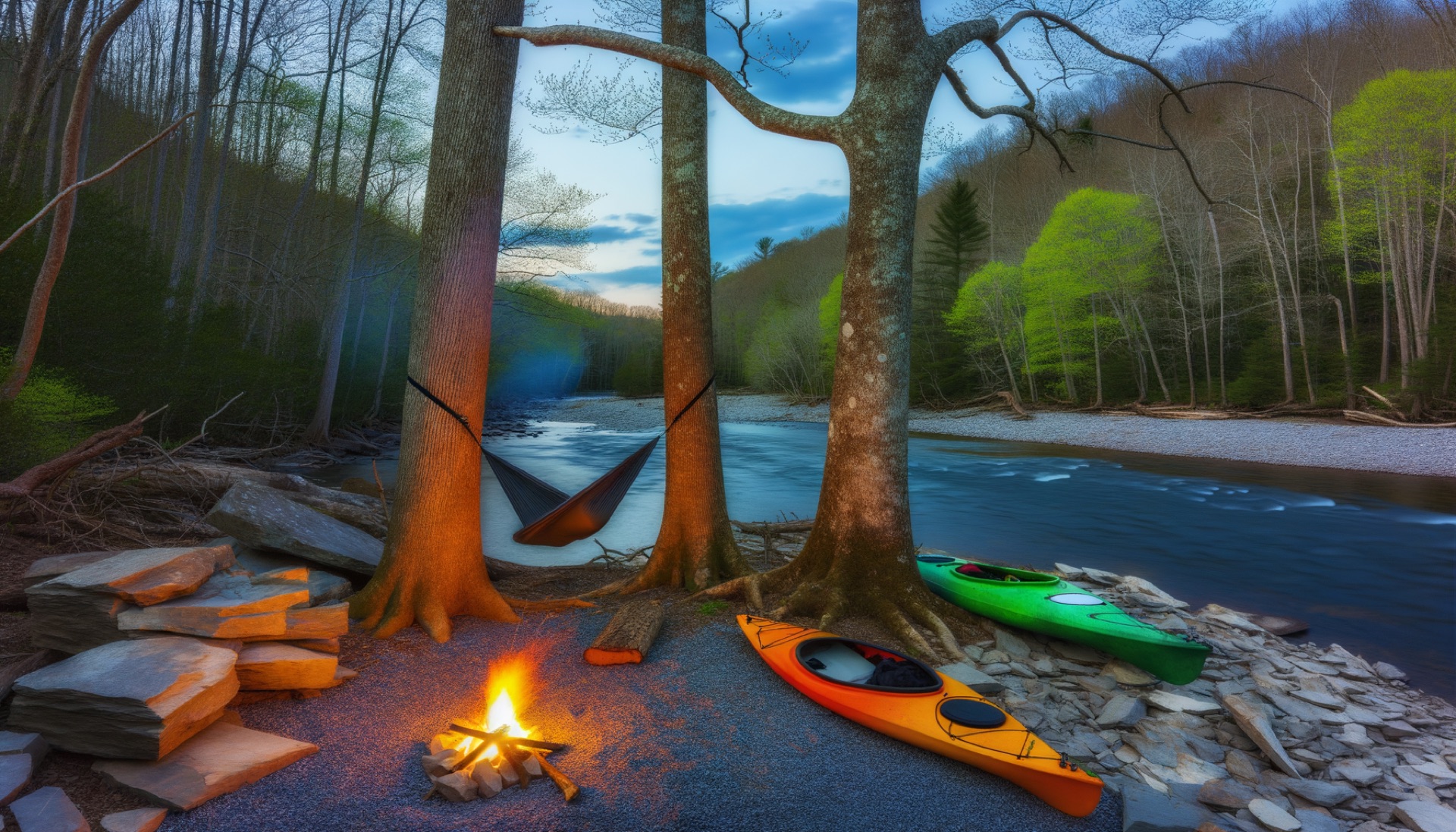
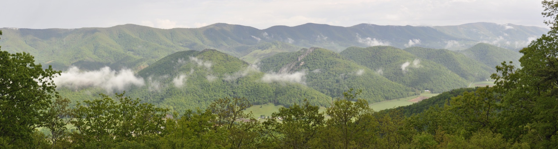
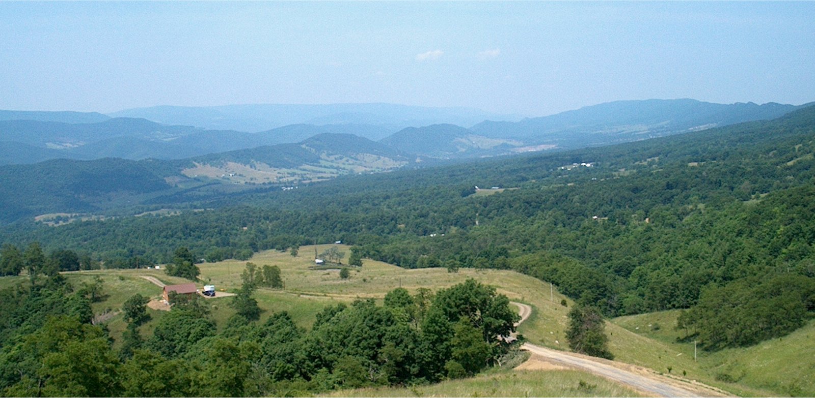
Smoke Hole Canyon: Moonshine & Bats
Downstream of your trip lies Smoke Hole Canyon -- a 20.7-mile gorge with walls over 1,000 feet deep. Moonshine production was a booming cottage industry here, particularly during the 1920s. The canyon didn't get electricity until 1949.
40% of the world's Virginia big-eared bat population lives in the canyon's caves. A single 4-acre island (Hermit Island) hosts 283 documented plant species. The Nature Conservancy calls it "one of the most biologically rich places in the East."
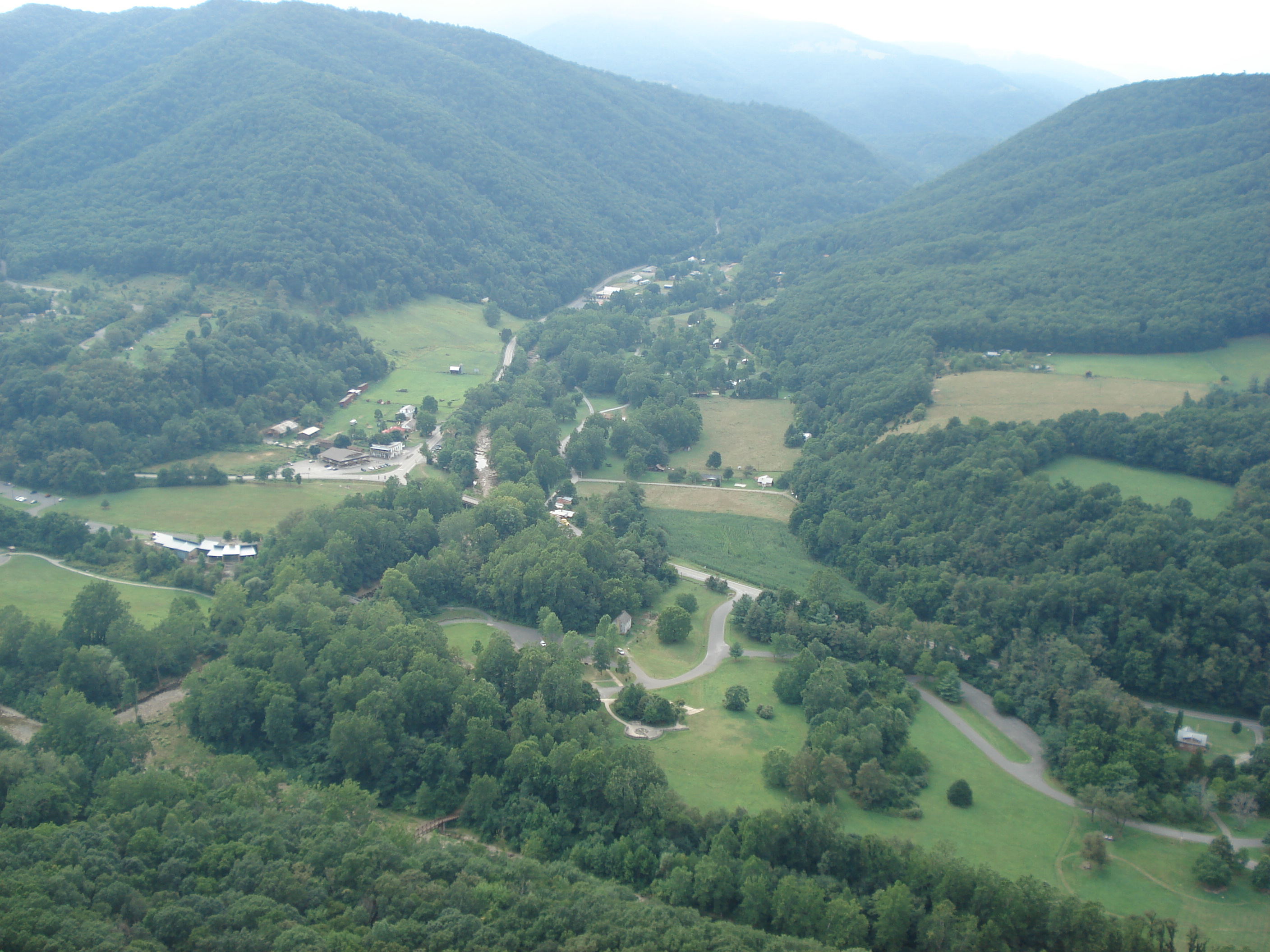
Civil War: Brother Against Brother
Pendleton County was torn apart. Over 700 men fought for the Confederacy, while Unionists in the Seneca area formed Home Guard companies. The split was literal -- brothers James Boggs (Confederate) and John Boggs (Union) led opposing guerrilla forces in the same county.
Confederates mined saltpeter from caves in Smoke Hole Canyon. Union Home Guards -- called the "Swamp Dragons" -- destroyed the operations. A commandeered church (Camp Luther) was reportedly burned by local women to prevent further military misuse.
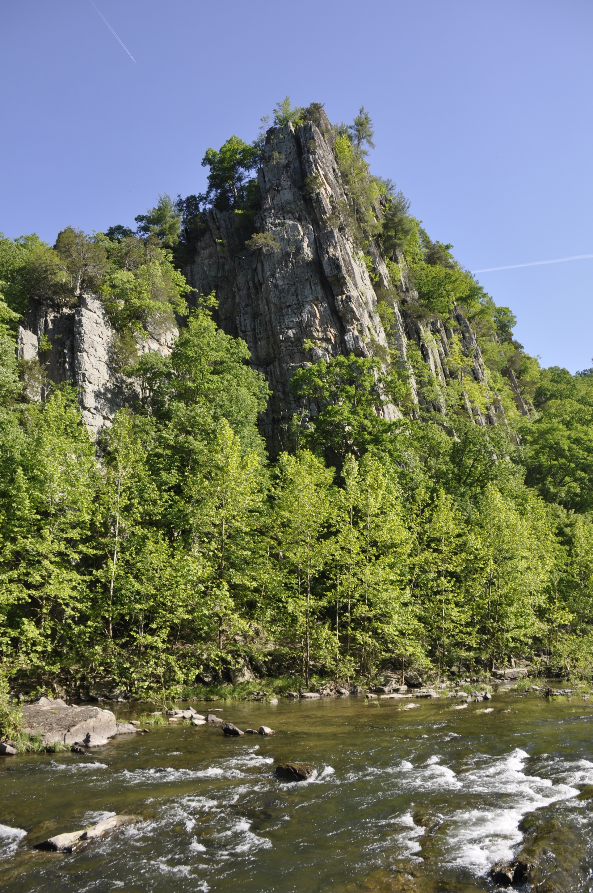 Photo: Jarek Tuszynski / CC BY-SA 4.0
Wildlife You Might See
The North Fork corridor is serious wildlife habitat. Bald eagles nest in Hopeville Canyon and along the South Branch. Peregrine falcons hunt from the cliffs of Seneca Rocks and North Fork Mountain. Great blue herons work the shallows.
The river has excellent fishing -- native brook trout in the colder reaches, rainbow and brown trout throughout, and smallmouth bass that may descend from roughly 30 fish introduced at Cumberland, MD in the 1850s.
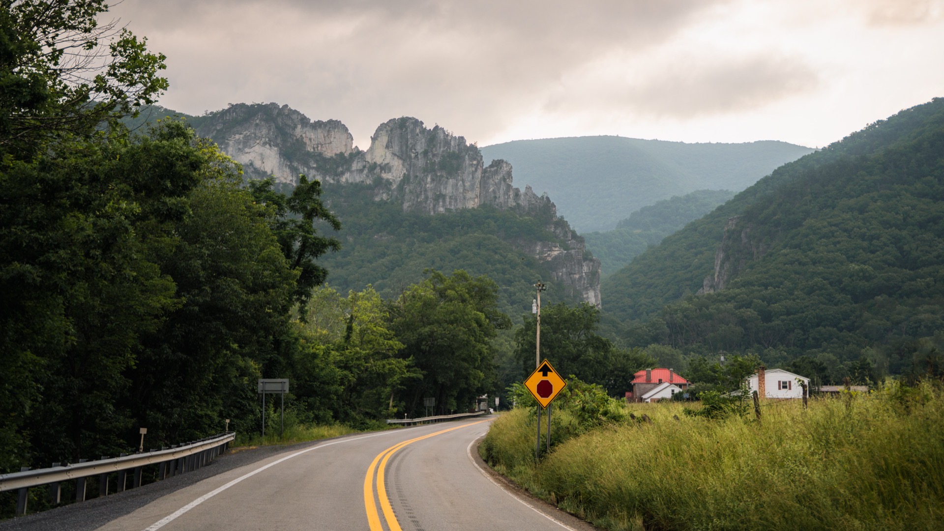 Photo: John Brighenti / CC BY 2.0
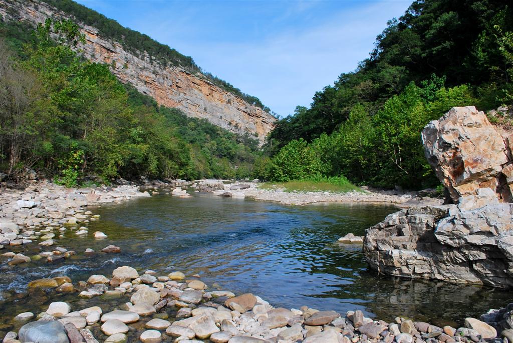 Photo: Jim Hopkins